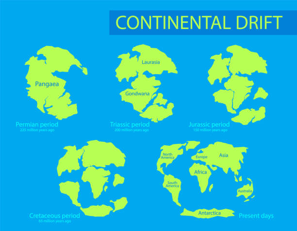
According to scientific research and geological studies, the formation of the Philippines as a collection of 7,641 islands can be attributed to various geological processes and plate tectonics that have occurred over millions of years.
Around 60 million years ago, during the Late Cretaceous period, the first Philippine landmass emerged. This landmass included parts of present-day Mindoro and Palawan, which were situated in close proximity to the island of Taiwan. This emergence was a result of geological and tectonic activities in the region.
Over time, the Philippine Mobile Plate began to take shape due to the movements and interactions of different tectonic plates. The Pacific Plate and the Australian Plate moved towards the Asian Plate, leading to a series of complex collisions. Luzon and Mindanao started to form as a result of these interactions, becoming part of the Philippine Mobile Plate.
Approximately 30 million years ago, the Indian Plate began colliding with the Asian Plate. This collision caused a tear in the Earth's crust, leading to the formation of the West Philippine Sea. As a consequence, the previously isolated islands of Mindoro and Palawan were pushed closer to Luzon and Mindanao. The continued movement of the Pacific, Australian, and Indian plates towards Asia eventually resulted in the formation of the 7,641 islands that comprise the Philippines today.

Palawan and the Calamianes region have experienced a unique geological situation. They have been caught between the southward movement of the Sunda Plate and the northern push of the Philippine Mobile Belt. This has made Palawan relatively more stable, experiencing fewer earthquakes compared to other parts of the Philippine territory.
Furthermore, ongoing geological processes continue to shape the Philippines. The Pacific Plate continues its westward movement, leading to the emergence of an undersea rise east of Dinapigue, Isabela. Over the course of millions of years, this rise will contribute to the expansion of Philippine territory, eventually adding an island comparable in size to Luzon. This area is now known as the Philippine Rise, formerly referred to as the Benham Rise.
These scientific explanations are supported by studies conducted by geologists, seismologists, and other experts in the field of geology and plate tectonics. They provide a deeper understanding of the geological history and formation of the Philippine archipelago, enabling us to appreciate the natural processes that have shaped Philippines over vast periods of time.
References:
Hall, R., Spakman, W., & Wortel, M. J. (2003). "Mega-Island Indonesia-Australia-Australia in the Neogene." Geology, 31(6), 561-564.
Hamilton, W. B. (1979). "Tectonics of the Indonesian Region." US Geological Survey Professional Paper 1078.
Solidum, R. U., & Cabato, F. L. (2014). "Geology of the Philippines." In Lee, C. S., White, W. H., & Morin, R. L. (Eds.), The Geology of East Asia: The Philippines. Geological Society of America.


