Nahwa is a village under the jurisdiction of the Emirate of Sharjah, United Arab Emirates. Administratively, the territory holds status as part of the eastern region of the Emirate of Sharjah.
Geographically, Nahwa is situated entirely within the region of Madha. Madha itself is an exclave of the Sultanate of Oman located within the mainland of the United Arab Emirates.
In geographical terms, Nahwa's position is classified as a counter-enclave, or a second-order enclave. The classification applies because Nahwa is a territory of one country located inside an enclave belonging to another country.
Dual Geographic Status of the Nahwa Region
Nahwa's location lies in the middle of a nested border between the Sultanate of Oman and the United Arab Emirates. The territorial position leaves Nahwa without direct overland access connecting to the mainland of the United Arab Emirates.
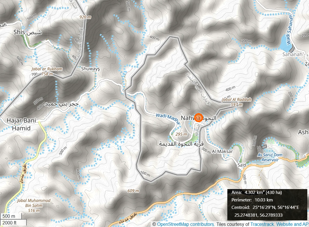
Overland transportation access to Nahwa requires traveling via the main road network in the Madha region. Travelers making the overland journey from the United Arab Emirates must enter Omani mainland territory before arriving in Nahwa.
The main transportation route connecting the area consists of a paved asphalt road passing through rocky hills. The route serves as the sole physical link between residential areas in the enclave region.
In terms of land area, Nahwa covers approximately 1 square kilometer. The size of the region is substantially smaller than the surrounding territory of Madha, which covers approximately 75 square kilometers.
Spatial layout divides the residential settlements in Nahwa into two primary areas. The two settlement zones are designated as New Nahwa and Old Nahwa.
The New Nahwa area was developed to accommodate modern housing settlements. Meanwhile, the Old Nahwa area contains historic structures and date palm plantations.
Border Determination Based on Historical Loyalty
The formation of territorial boundaries in the Musandam region emerged from tribal political dynamics during the 1930s and 1940s. During that period, international border demarcation in the Arabian Peninsula had not been formally established under modern administrative systems.
Territorial boundary determinations at that time relied on the direction of allegiance from local rulers and tribal leaders. Tribal heads declared the political affiliation of their lands toward nearby regional sovereigns.
Residents in the Madha region chose to declare political allegiance to the Sultan of Oman, led at the time by Sultan Said bin Taimur. That choice established the Madha territory under the sovereignty of the Sultanate of Oman.
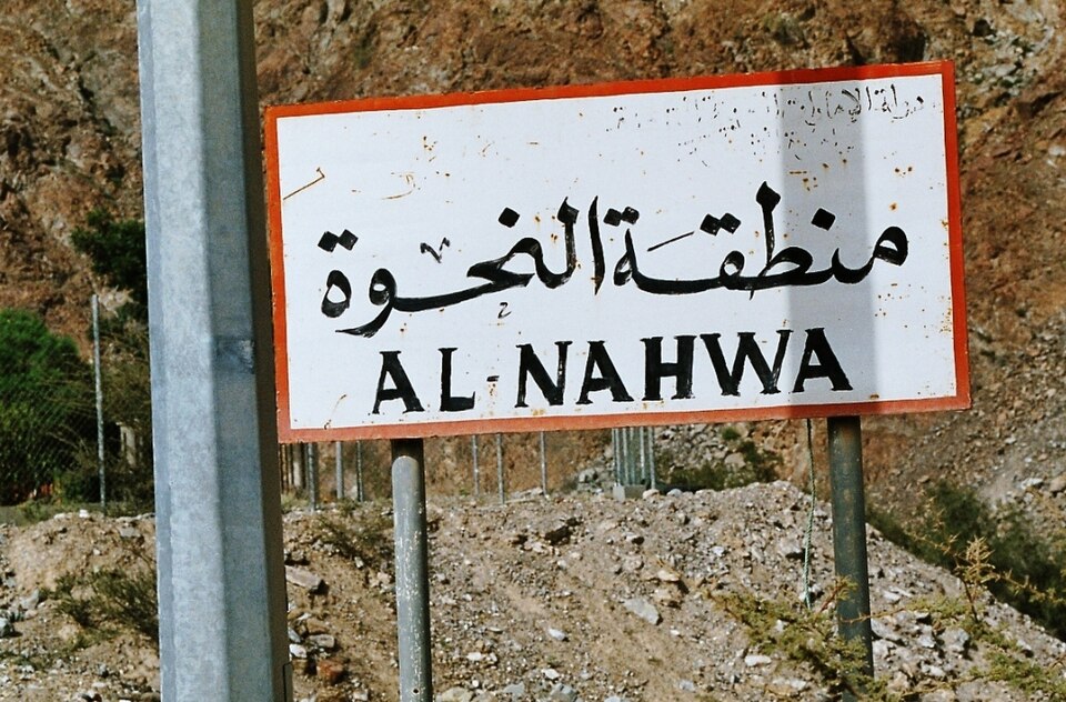
Conversely, residents inhabiting the Nahwa area reached a different decision. The inhabitants of Nahwa explicitly chose to maintain allegiance to the Al Qasimi ruler of Sharjah, Sheikh Sultan bin Sa'qr Al Qasimi II.
The outcome of the historical allegiance decisions served as the primary basis for mapping the region. Official mapping conducted in the 1960s ratified territorial borderlines in accordance with the loyalty choices of the local population.
Legal Status of the Border
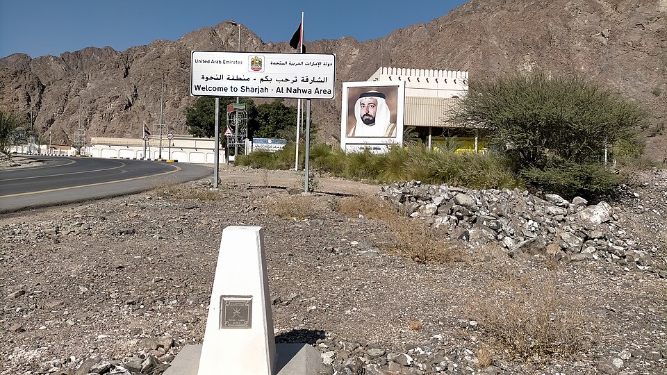
The Government of the United Arab Emirates and the Sultanate of Oman established legal certainty regarding the border through an official treaty signed in June 2002. The international border agreement was subsequently enacted through formal legal ratification in October 2003.
To maintain regional accessibility, the border between Nahwa and Madha operates without immigration checkpoints. Transportation movement between the territories proceeds without passport checks or visa document controls.
The administrative governance of Nahwa currently falls under the leadership of the Ruler of Sharjah, Sheikh Sultan bin Muhammad Al Qasimi. All territorial governance of Nahwa reports directly to the Sharjah local government authority in the United Arab Emirates.