In Brunei Darussalam, there is an island located right at the mouth of the Brunei River. The island named Pulau Berambang, is the largest river island in Brunei-Muara District. The surrounding landscape consists of estuarine waters and tropical swamp vegetation.
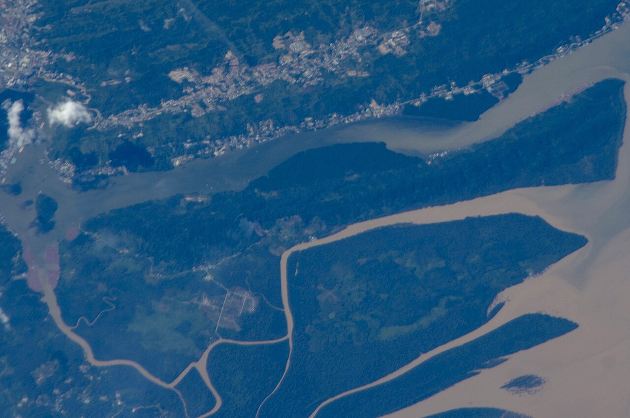
The island covers an area of approximately 19 square kilometers. Access to the location can only be reached by water boat from the mainland. Crossing from the Bandar Seri Begawan area takes about 15 minutes of travel time. As an island situated at the river mouth, the area holds a history of fuel extraction and local settlement.
The History of the Buang Tawer Coal Mine
Coal mining activities on Pulau Berambang began in the late 19th century. During that period, the island was better known as the Buang Tawer area. Coal mine management in the location operated under the concession of Charles Brooke. Extracted coal was distributed through river shipping routes toward the estuary area.
Mining operations in the Buang Tawer area ran alongside the operations of the Brooketon mine in Muara. The extraction formed an important part of the early history of fossil fuel mining in Brunei. Extracted coal was exported to support the fuel needs of steamships across the region.
Entering the early 20th century, underground coal reserves gradually depleted. The condition caused coal extraction activities in Buang Tawer to cease around 1917. After operations ended, workers left the excavation sites on the island. The abandoned mining land slowly underwent a process of natural recovery.
The Condition of Mangrove Forests After Mining Operations Ended
After industrial activity ceased, the physical landscape of Pulau Berambang gradually shifted. Open mining pits began filling with rainwater and became covered with wild vegetation. Mangroves regrew, taking over coastal areas and former mining operation sites. The natural process continued for decades without large-scale industrial disruption.
Currently, most of the island is dominated by mangrove forests and secondary swamp forests. The surrounding waters serve as a supporting area for protected estuarine ecosystems. Dense vegetation forms a natural buffer that protects soil structures from river water erosion.
Beside mangrove vegetation, the island serves as a natural habitat for populations of proboscis monkeys (Nasalis larvatus). The endemic animals live wild along the trees bordering the river. The surrounding waters also serve as a stopover point for various waterbirds and river fauna. Relatively calm natural conditions support local ecosystem preservation.
Life of the Local Estuarine Community
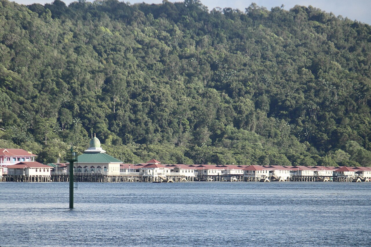
Although dominated by forest vegetation, several villages stand along the island coast. The largest settlements in the area are Kampong Sungai Bunga and Kampong Menunggol. Most residents' houses are built with stilt structures over shallow waters along the riverbank. The building layout facilitates the daily mobility of residents living close to the water.
The primary livelihood of residents in Kampong Sungai Bunga and Kampong Menunggol focuses on fishing and seafood processing. Some inhabitants operate cottage industries producing items such as prawn crackers and dried fish.
Daily mobility relies on water taxis (perahu tambang) and motorboats. The water routes directly connect island jetties with mainland Brunei.
Basic public utilities are supplied directly from the mainland. Submarine cables and water pipelines stretch across the bed of the Brunei River to reach resident settlements.