

Lake inception refers the unique geographical marvel where there’s an island in a lake on an island and in a lake. As of now, there’s only two known “lake inception” with a third order island within it. One of them is in Canada, and the other one is located in the island of Luzon in the Philippines, called Lake Taal.
Geography of the Philippines
The geological setting of Luzon is dominated by the Philippine Mobile Belt, a tectonically active zone resulting from the convergence of the Eurasian and Philippine Sea Plates. This complex tectonic activity has led to the formation of numerous volcanoes and mountain ranges, as well as lowland basins where water can accumulate.
These conditions are ideal for lake formation, particularly through volcanic and tectonic processes. The dynamic nature of Luzon’s geology provides the backdrop against which many of its lakes have been formed.
Volcanic Activity

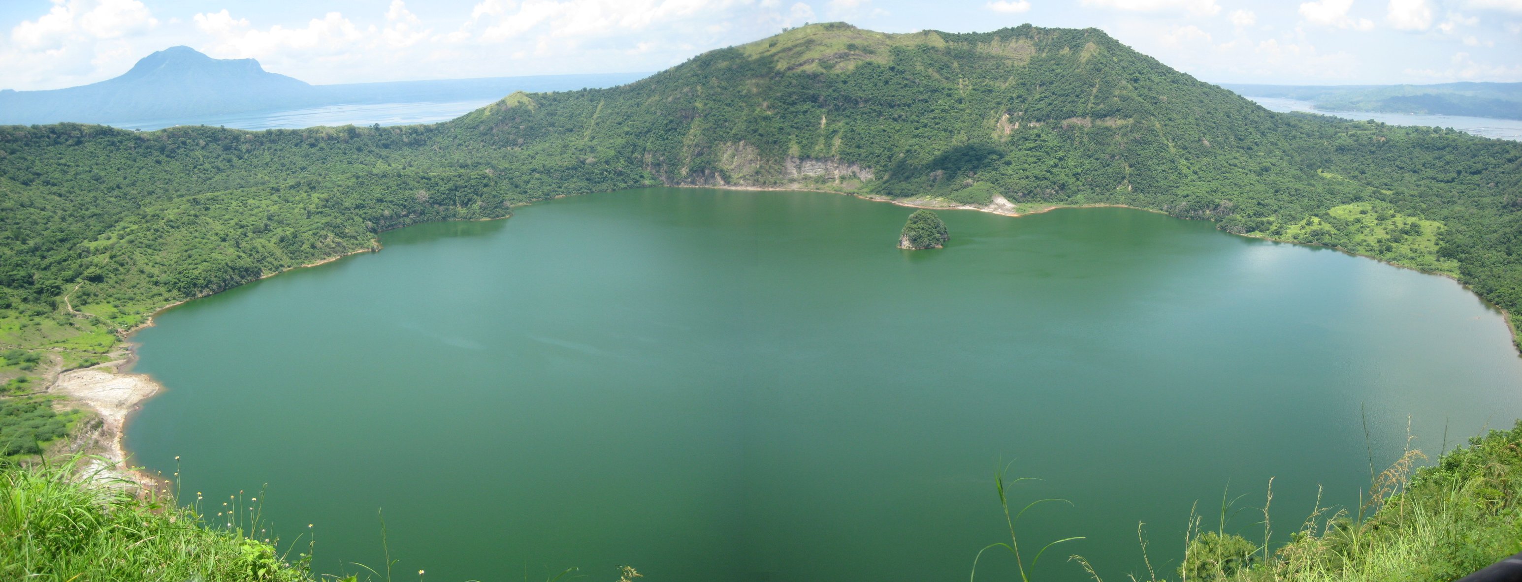
Volcanic activity is perhaps the most significant contributor to lake inception in Luzon. Lake Taal was formed after a series of violent eruptions caused the collapse of the Taal Volcano’s summit, creating a depression that gradually filled with water.
Over time, this caldera evolved into a freshwater lake, with the active volcano remaining at its center as Volcano Island. Lake Taal is unique for its nested geological structure—a lake within a volcano within a lake—and is a clear demonstration of how volcanic eruptions can reshape landscapes to form new aquatic environments.
Another example of volcanic lake inception is Lake Pinatubo, which formed after the cataclysmic eruption of Mount Pinatubo in 1991. Prior to the eruption, there was no lake in the area, but the violent expulsion of magma and ash emptied the magma chamber beneath the mountain, causing the summit to collapse into a caldera.
Rainwater subsequently accumulated in the caldera, eventually forming the pristine crater lake known today. Lake Pinatubo is noted for its clear blue waters and serves as a reminder of how volcanic cataclysms, despite their destructive nature, can also create new natural landmarks.
Tectonic Activity
In addition to volcanic processes, tectonic activity has also contributed to lake inception in Luzon. The formation of basins due to faulting and crustal movement can lead to the development of natural depressions where lakes can form.
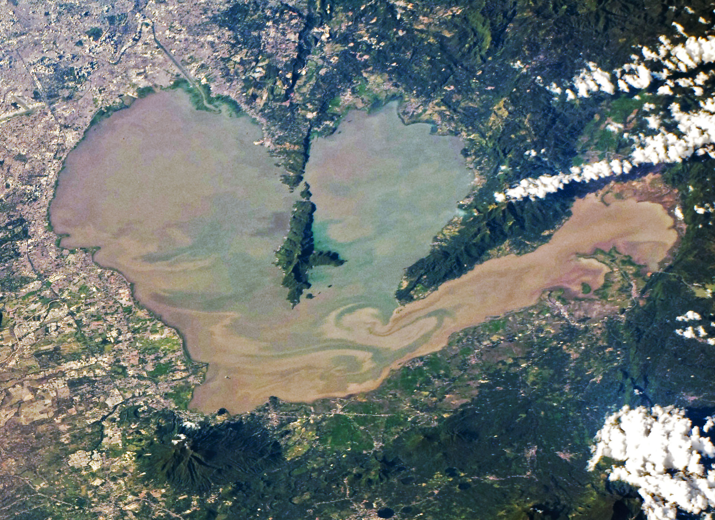
Laguna de Bay, the largest lake in the Philippines, is thought to have been formed through a combination of tectonic subsidence and river sedimentation. Located east of Metro Manila, it is a shallow freshwater lake that plays a critical role in agriculture, fisheries, and water supply in the region.
Its formation over thousands of years illustrates how slow geological processes can lead to the creation of vast and ecologically significant bodies of water.
River processes and basin filling are additional factors in lake formation in Luzon. Floodplains and natural drainage basins, especially in areas with abundant rainfall, can lead to the accumulation of water in low-lying areas. These lakes may not be as dramatic in origin as volcanic or tectonic lakes, but they still play an essential ecological role, supporting biodiversity and human livelihoods.
In conclusion, the inception of lakes in Luzon is a multifaceted phenomenon driven primarily by volcanic eruptions and tectonic activity, complemented by hydrological and sedimentary processes.
Each lake, whether formed by explosive volcanic activity or the slow subsidence of tectonic plates, tells a unique story of the island’s dynamic earth systems. These lakes are not only geological features but also integral parts of Luzon’s environment and human history.


