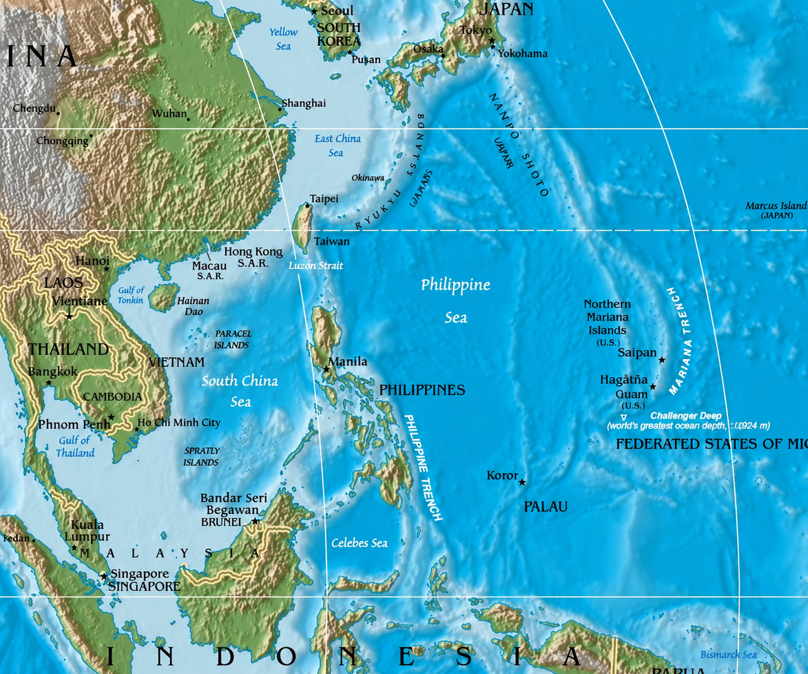
Many of the strongest typhoons in Asia have one thing in common before they reach land, they begin over the Philippine Sea.
Every year, weather agencies monitor clusters of thunderstorms that develop east of the Philippines. Some weaken within days. Others grow into powerful typhoons before moving toward the Philippines, Taiwan, China, Japan, or Vietnam.
The Philippine Sea is not the only place where tropical cyclones form, but it sits within the Western North Pacific, the world's most active tropical cyclone basin. According to the Philippine Atmospheric, Geophysical and Astronomical Services Administration (PAGASA), this basin accounts for about one-third of all tropical cyclone activity worldwide.
Several geographic and atmospheric conditions make this part of the Pacific especially favorable for storm development.
Warm Water Provides the Energy
Tropical cyclones draw their energy from warm ocean water.
According to PAGASA, sea surface temperatures generally need to exceed 26°C before a tropical cyclone can develop and intensify. Warm water continuously evaporates into the atmosphere, supplying moisture that later condenses into clouds and thunderstorms. The release of latent heat during condensation powers the circulation at the center of the storm.
The Philippine Sea remains warm for much of the year, allowing tropical disturbances to develop over a broad area of the western Pacific.
Not Too Close to the Equator
Warm water alone is not enough.
A developing storm also needs the Coriolis force, an effect created by Earth's rotation that helps organize winds into a rotating circulation. Near the equator, this force is too weak to sustain a tropical cyclone.
PAGASA notes that while weather disturbances may appear within five degrees of the equator, they rarely strengthen into tropical cyclones until they move farther north or south, where the Coriolis force becomes strong enough to support rotation.
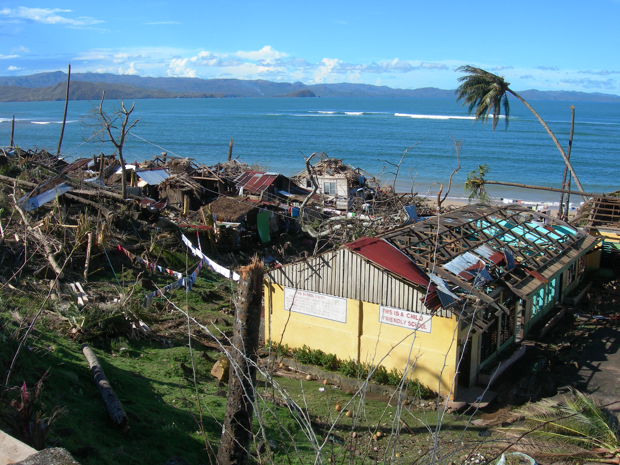
The Philippine Sea lies within this favorable latitude, placing it in one of the world's most suitable regions for tropical cyclone formation.
Why Many Storms Move Toward the Philippines
Many tropical cyclones that develop over the western Pacific do not remain over open water.
According to PAGASA, storms forming over the Pacific typically move westward or west-northwest at an average speed of about 19 kilometers per hour. Their movement is largely controlled by large scale atmospheric steering winds, placing the Philippines directly along the path of many developing systems.
PAGASA monitors these storms within the Philippine Area of Responsibility (PAR), a designated forecasting region covering the eastern Philippine Sea and surrounding waters. The agency reports that an average of 20 tropical cyclones enter the PAR each year, although only about eight to nine make landfall in the Philippines.
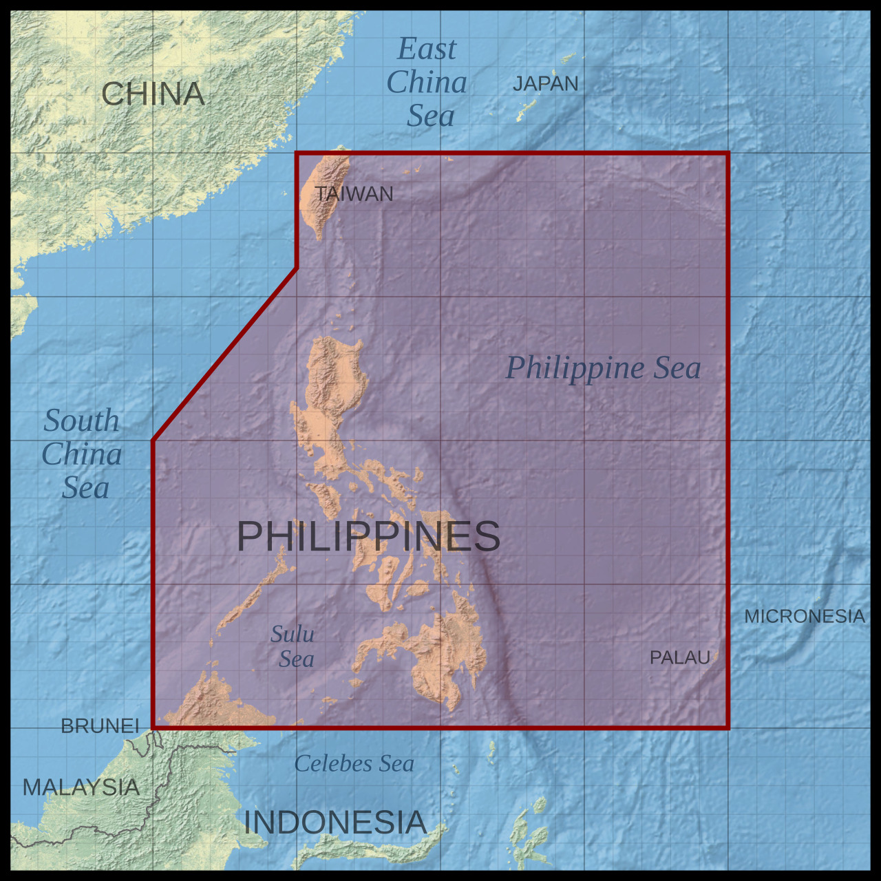
This distinction is important because entering the PAR does not necessarily mean a storm will strike the country. Some curve north toward Japan, while others continue west toward Taiwan, China, or Vietnam.
A Region That Produces Storms Year After Year
Unlike some tropical cyclone basins that are active only during specific months, the Western North Pacific experiences tropical cyclone activity throughout the year. PAGASA identifies July to October as the peak season, when nearly 70% of tropical cyclones affecting the Philippines develop.
The Philippine Sea's consistently warm waters, favorable latitude, and location within the world's busiest tropical cyclone basin allow new storms to form repeatedly. These conditions explain why weather maps across East and Southeast Asia so often show developing tropical systems east of the Philippines before they begin their journey across the western Pacific.