


Singapore has been expanding its own land out of necessity.
Since the 1960s, its land area has grown from 581.5 square kilometers to 736.3 square kilometers today. The government is targeting 766 square kilometers by 2030. That means adding more than 7% to its land area in just a few years.
By comparison, Jakarta covers “only” 664 square kilometers. Singapore is now even larger than Indonesia’s capital, despite much of its land once being shallow sea and swampland.
So, there is a natural question. If Singapore keeps expanding its land into the sea, does its maritime territory, including its Exclusive Economic Zone (EEZ), expand too? An EEZ is the area where a country has exclusive rights to fish, oil, and other resources up to 200 nautical miles from its coast.
At first glance, the logic seems simple. If the coastline moves outward, the maritime boundaries measured from it should move outward too. But in Singapore’s case, it is not that simple.
The Rules Actually Favor Singapore, But There Is a Catch
On paper, international maritime law under UNCLOS does measure a country’s maritime zones, including its territorial sea, EEZ, and continental shelf, from a baseline that follows its coastline. If land is added through reclamation connected to the existing coast, that baseline can in principle move outward.
So far, the rules seem to work in Singapore’s favor.
But Article 60(8) of UNCLOS sets a clear exception. Artificial islands, installations, and structures built separately from existing land are not legally considered “islands.”
They do not have their own territorial sea or EEZ. They also cannot be used to determine maritime boundaries between states.
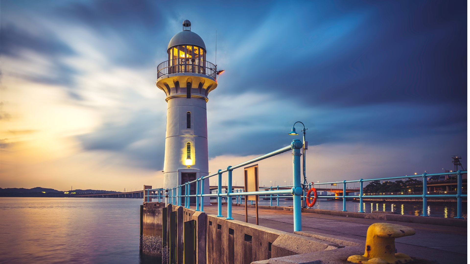
Fortunately for Singapore, most of its reclamation projects, including Tuas, Jurong Island, Changi, and the Long Island project entering its final preparatory stage in late 2026, are directly connected to existing land. They are not standalone artificial islands in the middle of the sea.
In theory, this means they can still count as legitimate extensions of the baseline.
But in a Strait This Narrow, Baselines Are Not Everything
The problem is that the theory quickly runs into geography. At some points, the Singapore Strait is only 1.5 nautical miles wide.
It is so narrow that Singapore has no room to claim a full 200-nautical-mile EEZ in any direction. Malaysia lies to the north and Indonesia to the south. Much of Singapore’s maritime boundaries have also already been set through bilateral agreements, rather than calculated automatically under UNCLOS.
Singapore’s Ministry of Foreign Affairs has made this clear. When its EEZ overlaps with the claims of neighboring countries, the boundaries must be settled through negotiations rather than unilateral claims.
That means expanding the coastline through land reclamation does not automatically move the maritime boundary on the map. It would still require agreement from neighboring countries.
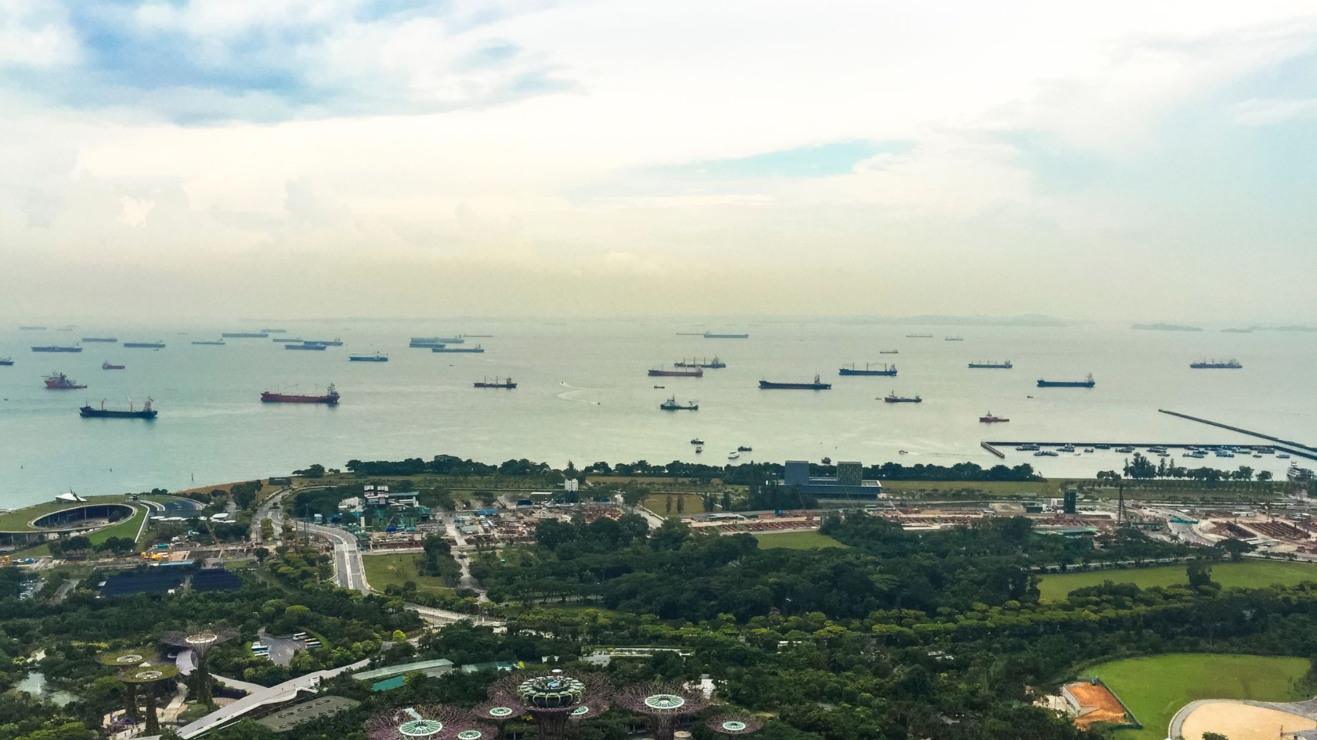
This scenario has already been tested in practice. In 2003, Malaysia brought Singapore before the International Tribunal for the Law of the Sea (ITLOS) over reclamation projects around the Johor Strait, including at Tuas.
The area is close to Pedra Branca, a small island at the center of a sovereignty dispute between the two countries. Singapore eventually won sovereignty over it at the International Court of Justice in 2008.
ITLOS rejected Malaysia’s request to temporarily halt the reclamation projects. It did, however, order both countries to form an independent panel of experts to assess their potential impacts.
The findings later became the basis for a Settlement Agreement signed by both countries in April 2005. Under the agreement, Singapore agreed to compensate Malaysian fishermen affected by the projects.
The important point is that the process did not shift the maritime boundary in Singapore’s favor. The outcome was compensation and environmental mitigation, not additional maritime territory.
Singapore’s EEZ Is Surprisingly Small
The final picture is striking. According to the Flanders Marine Institute’s international maritime boundaries database, Singapore’s official EEZ is estimated at only around 1,000 to 1,300 square kilometers.
That is roughly the same order of magnitude as its land area. It also makes Singapore’s EEZ one of the smallest in the world for a coastal state. For comparison, Indonesia’s EEZ covers around 6.4 million square kilometers.
So while Singapore’s land continues to grow through reclamation, the sea it can claim remains constrained by narrow straits and maritime boundaries agreed with its neighbors decades ago.
What expands, then, is the function of its new land rather than the size of its maritime territory. The Long Island project off the East Coast is set to add around 800 hectares of new land, a reservoir, and 20 kilometers of waterfront park. It is designed specifically as a natural barrier against rising sea levels.
Preparatory work, including clearing shipwrecks and debris from the seabed, began in late March 2026.
Alongside the expansion of Tuas Port and Changi Airport’s Terminal 5, these projects are being built to accommodate increasingly limited space for housing, ports, and air travel. Land reclamation remains a way for Singapore to sustain itself as a small island state. It just does not expand the country’s maritime sovereignty in the process.


