Bangkok sinks about two centimeters every year, a slow reminder of the waterways it paved over to make room for cars.
For much of its early history, Bangkok was built around water rather than roads. Located on the floodplain of the Chao Phraya River, the Thai capital developed as a network of rivers and canals, known locally as khlongs.
Boats served as the primary means of transportation, while houses, temples, and markets were constructed along waterways instead of streets.
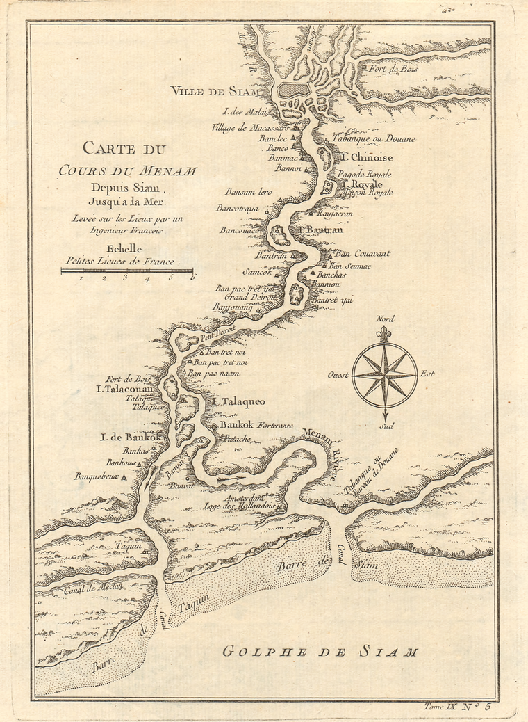
This landscape earned Bangkok the nickname "Venice of the East", a title widely used by foreign visitors during the 19th century. Today, Bangkok is better known for its highways, elevated expressways, and chronic road congestion than for its canals.
When Canals Were the City's Arteries
Canals played a central role in Bangkok's development after the city became the capital of Siam in 1782.
'Venice of the East' - Bangkok around 1900 #Thailand pic.twitter.com/ggwXYNNA6V
— Asia-News-De (@base_thai) October 23, 2019
According to Thailand's Creative Economy Agency (CEA), numerous canals were excavated or expanded to serve as defensive moats, transportation corridors, and trade routes.
After Siam opened to international trade during the nineteenth century, the canal network became increasingly important for moving goods between Bangkok and inland regions. It also reinforced the city's reputation as the "Venice of the East."
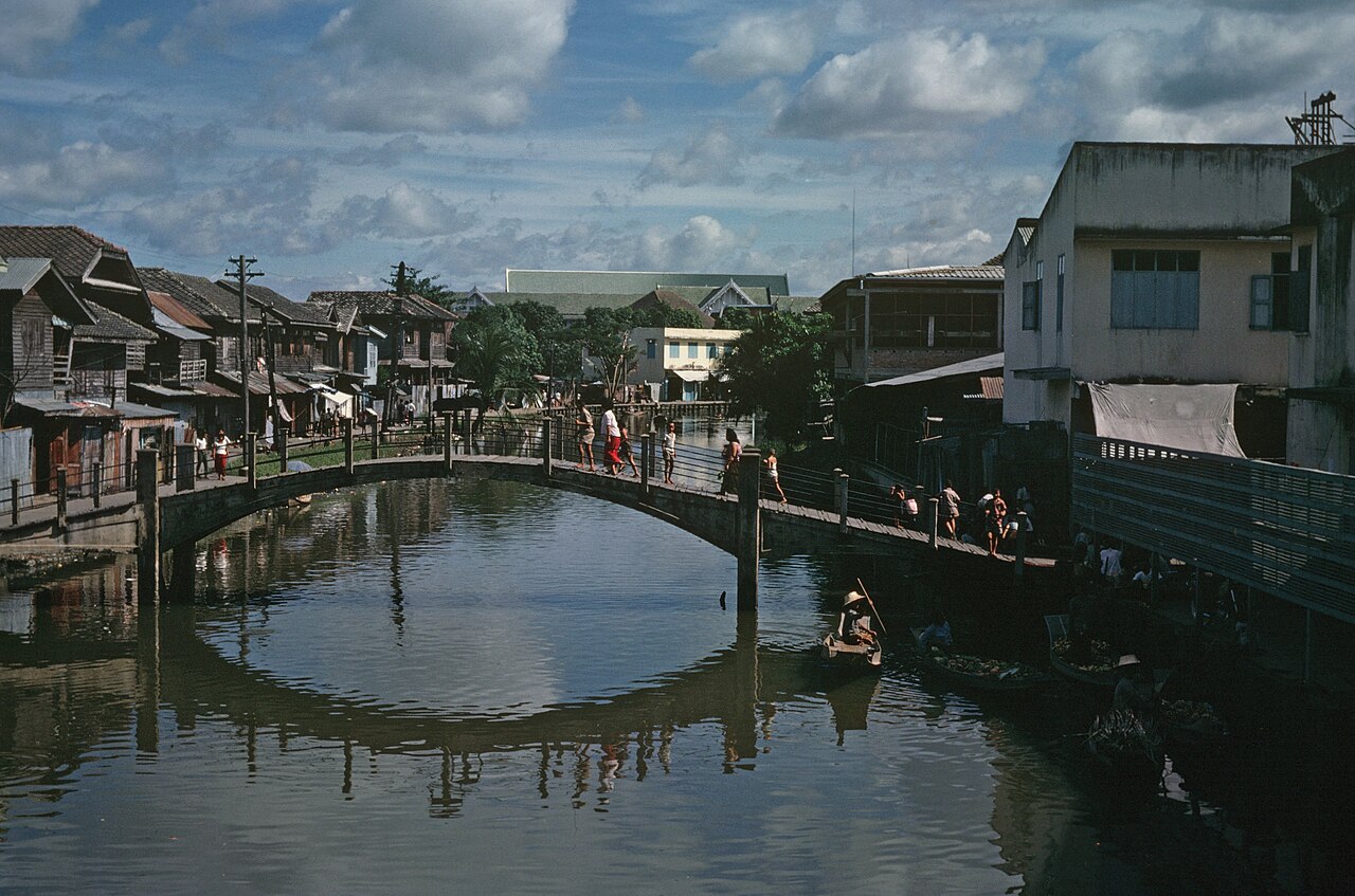
At the time, waterways functioned as the city's primary transportation network, with houses facing the water instead of streets.
From Waterways to Roads
Bangkok's transformation accelerated during the late 19th and 20th centuries as road construction expanded. According to the CEA, the growing road network gradually reduced the role of canals as transport arteries, and many were filled in to build additional roads.
A study by Hossain and Iamtrakul in the Journal of Architectural/Planning Research and Studies similarly notes that water-based transportation steadily declined as Bangkok shifted toward land-based transport, and calls for reincorporating canals into mainstream transportation planning to help ease the city’s traffic congestion.
Despite that decline, Bangkok remains one of Southeast Asia's largest canal cities. The CEA reports the city still has 1,682 canals, spanning a combined 2,604 kilometers, many now serving as drainage channels and flood infrastructure rather than transport routes.
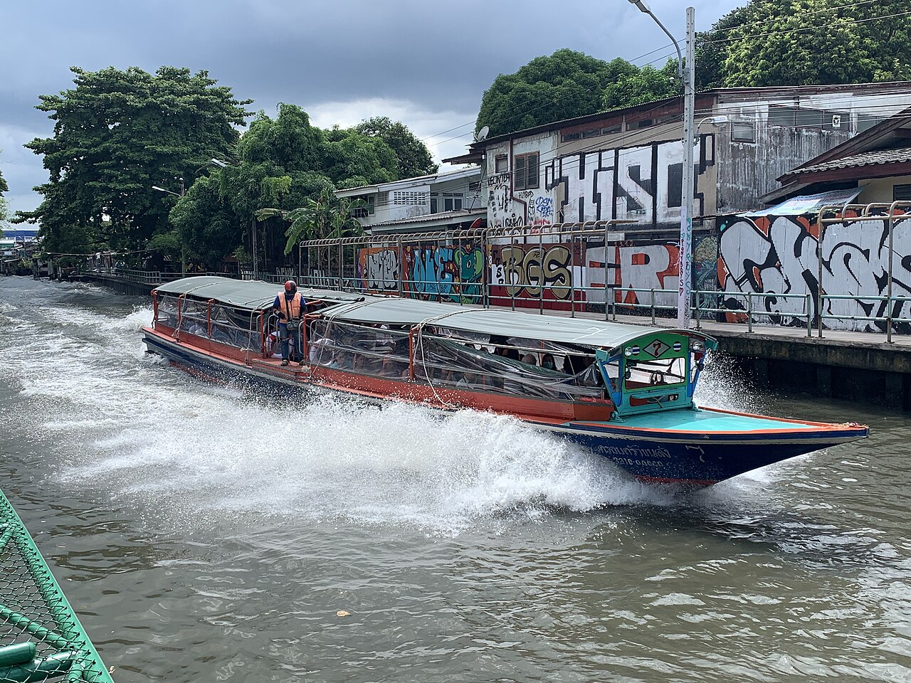
Water transport hasn't disappeared entirely either, boat services along the Chao Phraya River and Khlong Saen Saep still carry commuters and visitors daily, offering an alternative to road traffic.
Water Is Returning to Urban Planning
Bangkok's canal network has regained attention in recent years, though for reasons that differ from its original purpose. The Transport Ministry, Bangkok Metropolitan Administration (BMA), and other agencies have launched projects to expand canal-based transport.
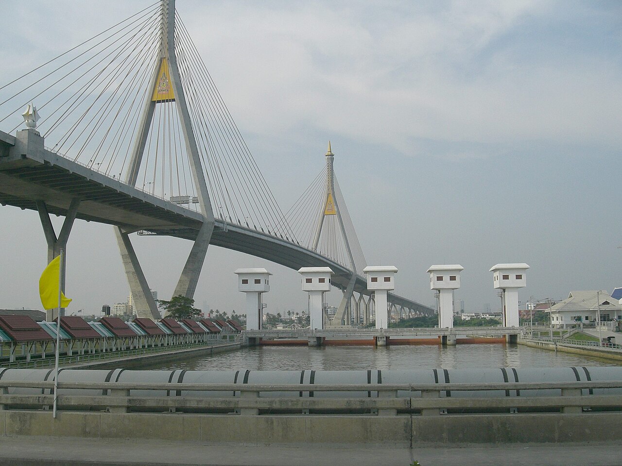
At the same time, canal restoration has become central to Bangkok's climate adaptation strategy. The BMA's "Blue & Green Network" initiative aims to convert more than 1,100 neglected canals into walkable, biodiverse linear parks, reversing decades of paving them over for roads.
The highest profile pilot, the 4.5 kilometer Chong Nonsi Canal Park, cuts through Bangkok's central business district and was designed by landscape architect Kotchakorn Voraakhom, partly modeled on Seoul's Cheonggyecheon Restoration Project. Five pilot projects have launched simultaneously across different parts of the city.
Separately, the Chulalongkorn Centenary Park, described as Bangkok's first blue-green infrastructure project, can store up to one million gallons of water on an 11 acre site, serving as both a flood buffer and public green space.
Although Bangkok is now defined by roads more than waterways, its 1,682 remaining canals continue to shape the city's landscape.
Once its principal transportation network, they are now being folded into flood control, public transit, and urban redevelopment, a renewed role for the waterways that first gave Bangkok its identity as the "Venice of the East."