


On Java’s cultivated slopes and beneath Mayon’s striking cone in the Philippines, volcanoes are part of everyday life. They shape landscapes, support livelihoods and inspire traditions, while demanding constant attention from the communities living beside them.
Across Southeast Asia, understanding these mountains means looking beyond spectacular eruptions. Their story connects deep geological time with today’s priorities: food production, cleaner energy, cultural heritage and public safety.
A Region Built by Moving Plates
Much of Indonesia and the Philippines lies along active plate boundaries, where one tectonic plate descends beneath another. These processes generate magma and help explain the concentration of volcanoes across the two archipelagos. However, volcanic exposure varies considerably across Southeast Asia; the region’s countries do not all face the same hazards.
Indonesia’s Energy and Mineral Resources Ministry identifies 127 active volcanoes, while the Philippine Institute of Volcanology and Seismology, or PHIVOLCS, lists 24. These national classifications provide a useful indication of the scale of monitoring required, rather than a count of mountains erupting simultaneously.
Among Indonesia’s giants, Kerinci rises approximately 3,800 metres above Sumatra. Recognised as Indonesia’s highest volcano, it is a prominent feature of Kerinci Seblat National Park, linking volcanic geology with one of the island’s important forest landscapes.
Reading the Past at Lake Toba
Farther north in Sumatra, Lake Toba offers a different perspective on volcanic power. Its broad waters occupy a caldera formed through enormous eruptions, including the super-eruption approximately 74,000–75,000 years ago.
UNESCO describes the present lake as covering around 1,100 square kilometres, with a maximum depth of 505 metres. Around its shores, Batak communities connect this geological landscape with distinctive architecture, crafts and traditions.
Toba is best understood as a window into deep time, rather than assigned an unsupported title as Southeast Asia’s “oldest volcano.” The age of an individual cone, a volcanic complex and an entire volcanic arc are different measurements.
Its global effects also require careful interpretation. Research continues to examine how the eruption influenced climate and human populations; the claim that it nearly wiped out humanity is not an established scientific conclusion.
Turning Volcanic Resources into Livelihoods
The connection between volcanoes and farming develops over time. As volcanic materials weather, they can produce highly fertile soils. Fresh ashfall, however, can damage crops and disrupt water supplies before any longer-term benefits emerge.
This distinction helps explain why volcanic landscapes can sustain productive communities while still exposing them to serious losses. Fertility does not remove the need for evacuation planning, resilient infrastructure and livelihood protection.
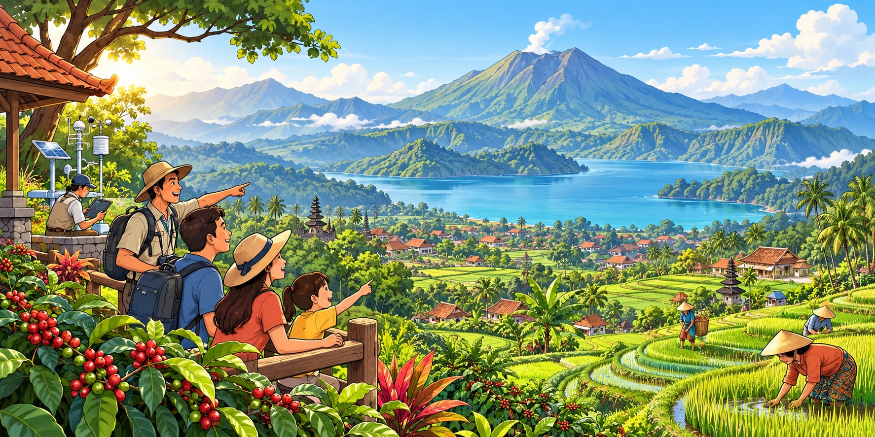
Underground heat offers another opportunity. In August 2026, Indonesia’s Energy and Mineral Resources Ministry reported approximately 2,776 megawatts of installed geothermal generating capacity against an estimated national potential of about 23,203 megawatts.
The applications extend beyond electricity. The ministry highlighted geothermal heat used for drying coffee in Kamojang, West Java, and processing palm sugar in Lahendong, North Sulawesi—local examples of geological resources supporting everyday production.
Keeping Culture at the Centre
Volcanic mountains are also places of belonging. Around Mount Bromo in East Java, Tengger communities maintain the annual Yadnya Kasada ceremony, offering agricultural produce and other offerings as part of their religious tradition.
For visitors, such landscapes provide opportunities to learn from residents, guides and cultural practitioners. Respectful tourism begins by recognising that a dramatic crater may also be a sacred place, a workplace or the setting of a community’s history.
At Toba, the surrounding settlements and Batak heritage give depth to the lake’s scenery. Supporting locally operated accommodation, guiding and crafts can connect tourism spending with the people who maintain that heritage. Geological interpretation becomes more meaningful when it includes their knowledge and experiences.
Making Science Useful to Communities
Beauty and familiarity can obscure danger. Mayon is the Philippines’ most active volcano, while Merapi’s lava-dome collapses can generate fast-moving currents of hot gas, ash and rock. Heavy rainfall can also remobilise volcanic deposits into lahars, threatening river valleys after an eruption has subsided.
“Stay calm and do not panic. Follow the directions and recommendations issued by BPPTKG or the local BPBD,” volcanologist Agung Harijoko advised in July 2020, translated from Indonesian. Then heading Universitas Gadjah Mada’s disaster research centre, he emphasised credible information and continued vigilance around Merapi.
In the Philippines, accessible communication has likewise become part of preparedness. Announcing the VolcanoPH Info application in 2021, volcanologist Renato Solidum Jr., then PHIVOLCS officer-in-charge, said: “We aim to provide the users with accessible and easy-to-read information.” The initiative connected monitoring bulletins with practical guidance for the public.
Some hazards reach well beyond a volcano’s slopes. Anak Krakatau’s flank collapse on December 22, 2018, generated a tsunami along nearby coastlines, demonstrating why volcanic risk assessment must also consider the sea.
National scientific agencies provide volcanic assessments, while local authorities organise protective action. At the regional level, the AHA Centre supports disaster coordination and assistance among ASEAN countries, complementing national responsibilities.
Southeast Asia’s volcanic future depends on combining these strengths: scientific monitoring, clear communication and communities equipped to act. Living with fire means appreciating what volcanoes provide while respecting the forces that continue to reshape the region.


