Every day, thousands of aircraft cross Southeast Asia's skies through airspace managed by one of the world's smallest countries.
Although Singapore covers just over 730 square kilometres, its Singapore Flight Information Region (FIR) is one of Asia's busiest aviation corridors. Before the COVID-19 pandemic, the Civil Aviation Authority of Singapore (CAAS) reported that it handled more than one million flights annually.
Most people associate Singapore's aviation sector with Changi Airport. In reality, aircraft are guided long before they reach the runway. Air traffic controllers in the Singapore FIR manage international flight routes, maintain safe separation between aircraft, and coordinate traffic across the region.
Managing Hundreds of Thousands of Flights
According to CAAS, Singapore's Air Traffic Management (ATM) system currently manages around 676,000 aircraft movements each year across more than 670,000 square kilometres of airspace an area roughly 900 times the size of Singapore itself.
Around 390 air traffic control officers work in shifts around the clock to keep that traffic moving safely. Changi Airport alone accounted for 374,000 aircraft movements in 2025, up 2.2% from the year before, reflecting the steady climb in traffic since the pandemic.
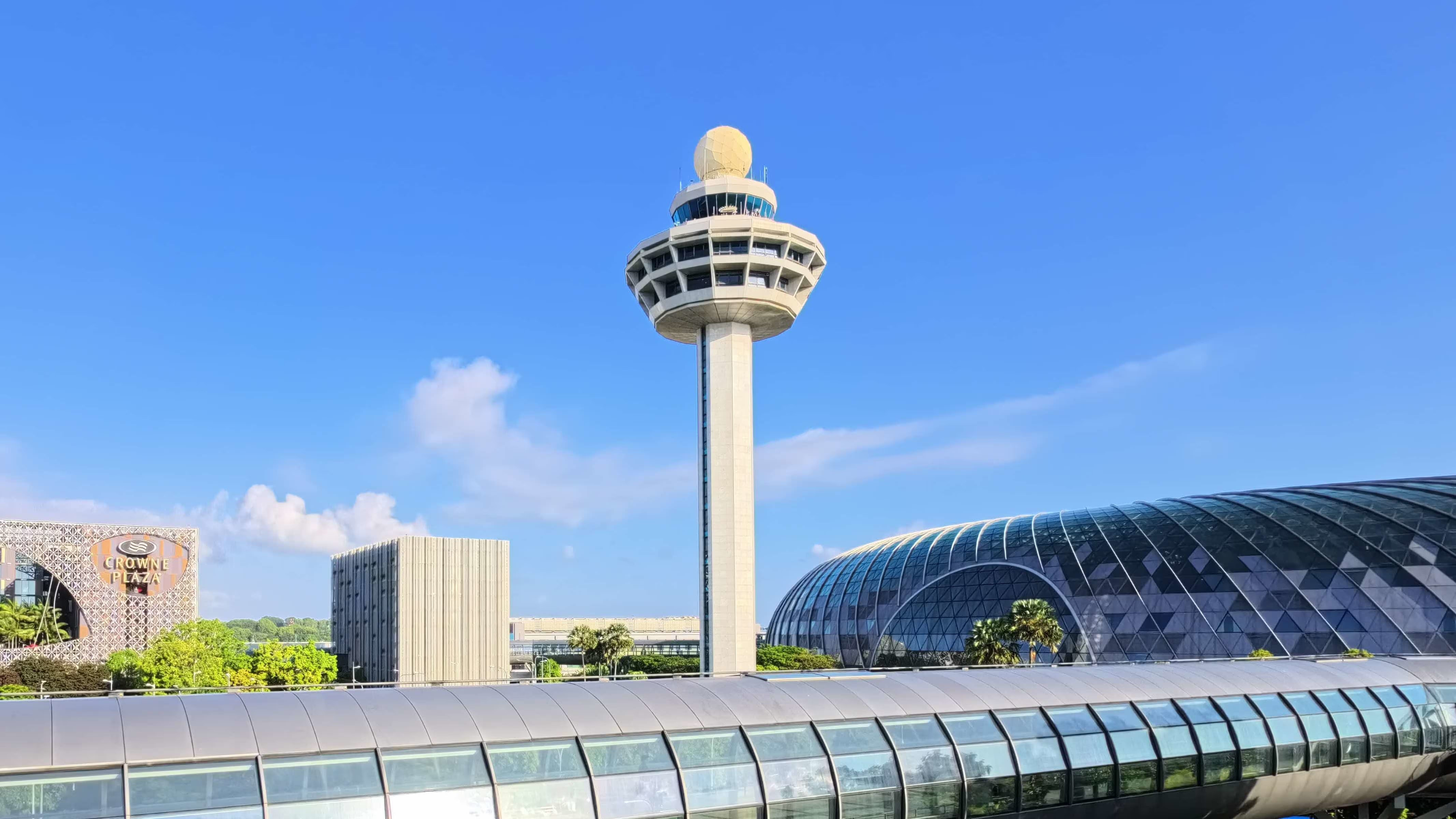
At the centre of the system is the Long Range Radar and Display System (LORADS). First introduced when Changi Airport opened in 1981, LORADS has undergone multiple upgrades, most recently with the 2014 rollout of LORADS III, developed with French firm Thales and remains the backbone of Singapore's surveillance and air traffic control network.
CAAS has become one of the early adopters of Trajectory-Based Operations (TBO), a concept that allows aircraft to follow more predictable and fuel-efficient flight paths.
Instead of each country's air navigation service operating independently, TBO enables multiple providers to share real-time information, including weather conditions, airspace restrictions, and traffic demand. This allows flights to be planned from departure to arrival as a continuous trajectory rather than being adjusted separately as aircraft cross national boundaries.
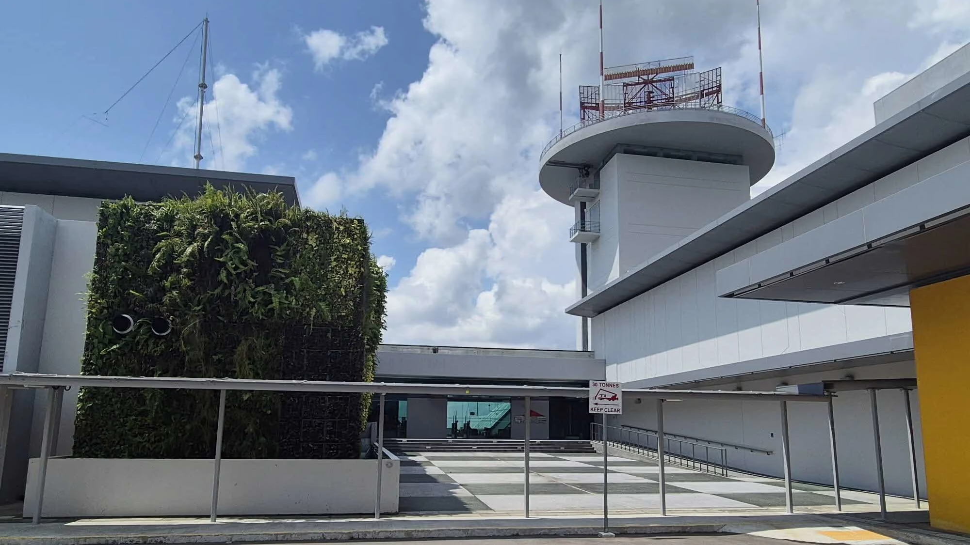
Singapore is also helping develop System Wide Information Management (SWIM) and Flight and Flow Information for a Collaborative Environment (FF-ICE), two ICAO initiatives designed to improve digital information sharing between airlines, airports, and air navigation service providers throughout the Asia-Pacific region.
Technology That Also Reduces Emissions
Air traffic management is increasingly linked to sustainability, and CAAS is pursuing this through two related but distinct initiatives.
The first is Direct Routing Operations (DRO), a foundational building block that allows airlines to file more direct flight paths instead of following predefined route networks. According to CAAS's FY2024/25 Sustainability Report, approximately 51,000 flights used DRO during that period.
The programme saved an estimated 176,000 nautical miles in total flying distance, translating into roughly 1,880 tonnes of aviation fuel saved and around 5,960 tonnes of avoided carbon dioxide (CO₂) emissions.
The second, larger initiative is Free Route Operations (FRTO), launched under the South-East Asia-Oceania FRTO Project with the air navigation service providers of Indonesia, Australia, and New Zealand, together with IATA and CANSO. Under this project, an operational trial covering 38 city pairs began in August 2024. In just the first five months, three participating airlines recorded a combined 614,966 kilograms of fuel savings and 1,394,134 kilograms of avoided carbon emissions, with the full trial results still being assessed.
Both initiatives point in the same direction: shorter, more efficient flight paths that cut fuel burn without requiring changes to aircraft technology.
Preparing for Future Growth
The International Air Transport Association (IATA) projects that Asia-Pacific will remain the world's fastest growing aviation market over the coming decades.
For Singapore, accommodating that growth involves more than expanding airport capacity through projects such as Changi Airport Terminal 5. It also requires continuous investment in the digital systems, surveillance technologies, and regional coordination that allow hundreds of thousands of flights to move safely through one of the world's busiest aviation corridors.
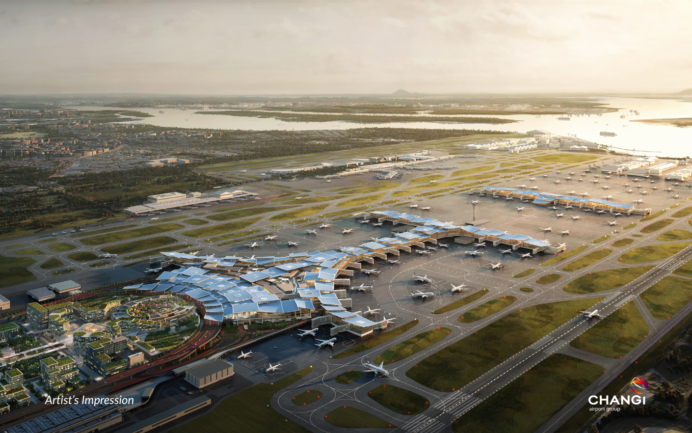
Behind every aircraft arriving or departing from Changi Airport is an air traffic management network designed not only to maintain safety, but also to improve efficiency and support the future growth of aviation across the Asia-Pacific region.