Inner Mongolia is an autonomous region located in the northern area of China. The administrative center of the autonomous region lies in Hohhot City. In Mandarin, the region is officially known as Nei Mongol.
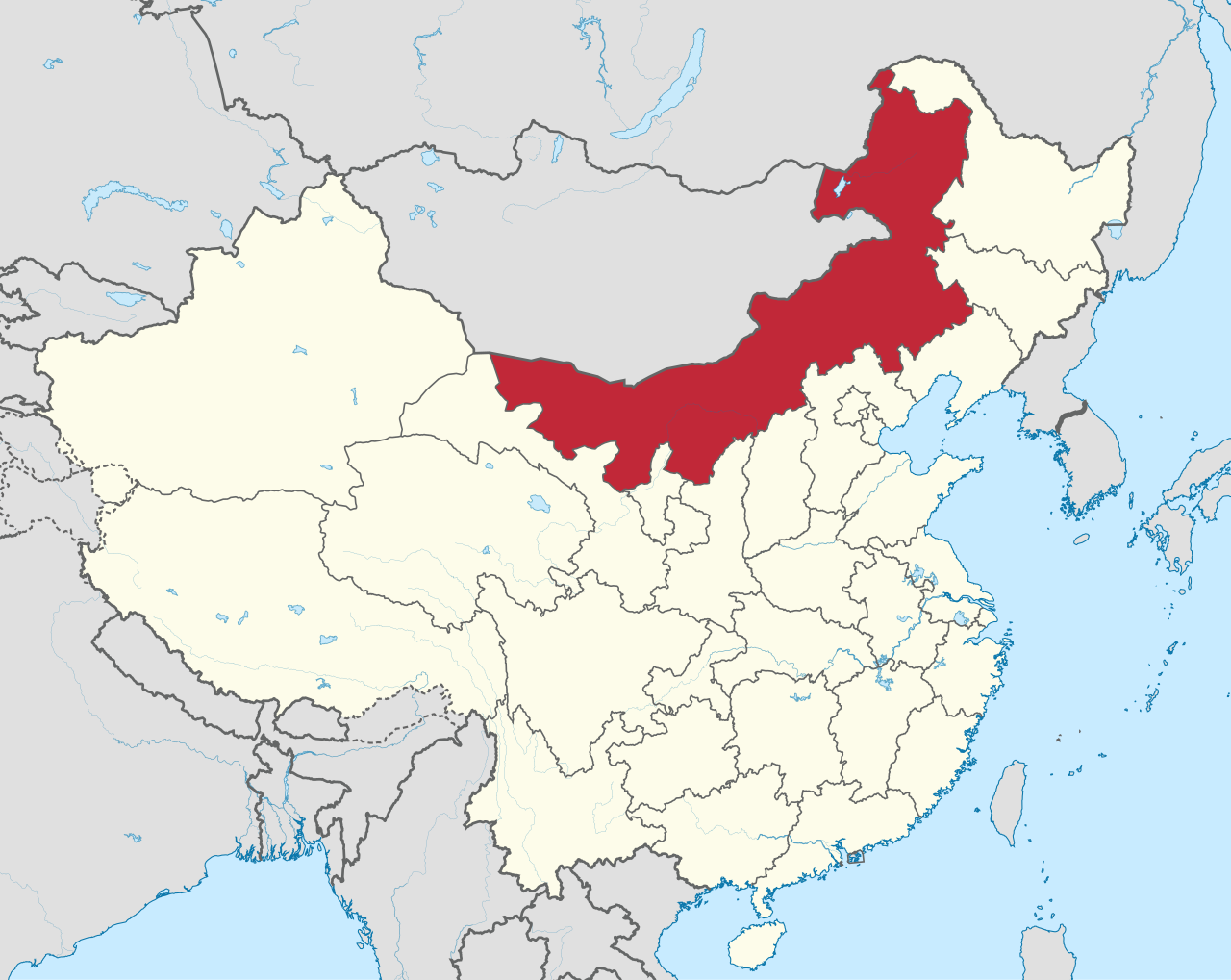
The area of Inner Mongolia reaches about 1.18 million square kilometers. The size makes it the third-largest provincial-level administrative division in China after Xinjiang and Tibet. Special autonomous status was granted to the region due to the presence of indigenous ethnic Mongol people.
The Early Formation of the First Autonomous Region in China
During the Qing Dynasty in the 17th century, the dwelling area of the Mongol people was divided into two separate administrative zones. The region in the south was designated as Inner Mongolia, which came directly under imperial control. Meanwhile, the area on the northern side was designated as Outer Mongolia, which later became the independent country of Mongolia.
Political changes in China during the first half of the 20th century also altered the governance status in the southern region. On May 1, 1947, the Inner Mongolia Autonomous Region Government was officially established in Ulanhot City. An ethnic Mongol leader named Ulanhu was appointed as the first chairman of the government in the region.
The establishment of the local government is recorded as the first provincial-level autonomous region in China. The autonomous region had already stood for more than two years before the proclamation of the People's Republic of China in October 1949. The regional capital was later moved to Hohhot City in the 1950s.
Grassland Landscapes on the Border of Mongolia
Inner Mongolia has a territorial shape stretching from west to northeast China. The region has an international border spanning more than 4,200 kilometers, bordering Mongolia directly to the north and Russia to the northeast. Domestically, the autonomous region borders eight other provincial-level divisions across northern and northeastern China.
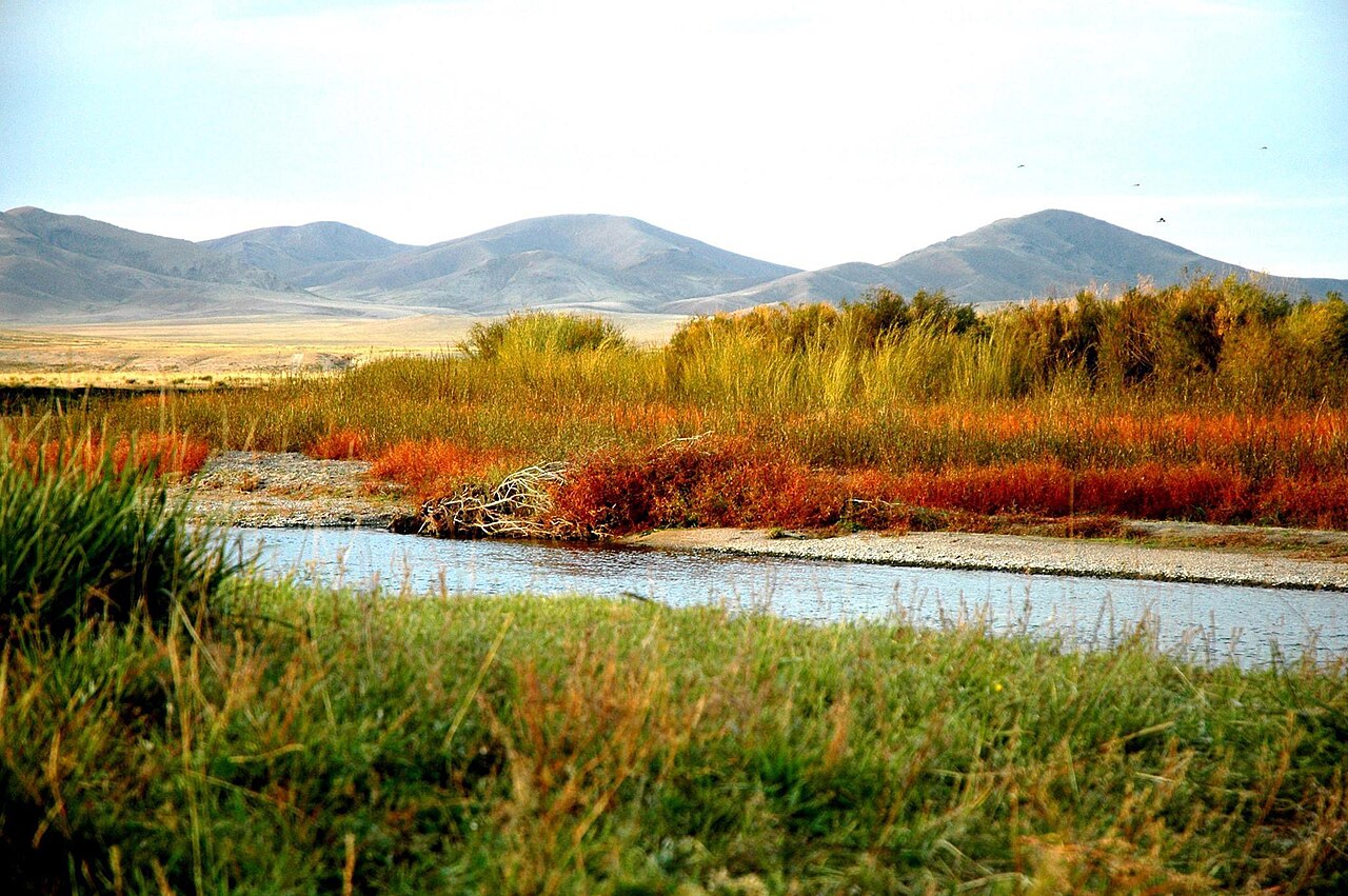
Most of the Inner Mongolia area lies on the Mongolian Plateau. The landscape from the central to northeastern parts is dominated by vast natural grasslands. The Hulunbuir Grassland serves as one of the main grassland areas used by people for herding activities. Meanwhile, the Greater Khingan mountain range stretches along the eastern side of the autonomous region.
Aside from grassland expanses, the western part of Inner Mongolia features arid desert geography. The Badain Jaran Desert and the Kubuqi Desert stretch across the western side of the autonomous region. Both desert areas span across Alxa League and Ordos City in western Inner Mongolia.
The Use of the Traditional Mongolian Script in Inner Mongolia
Based on the Seventh National Population Census in 2020 by the National Bureau of Statistics of China, the total population of Inner Mongolia was recorded at 24,049,155. The population figure places Inner Mongolia at 25th rank among all provincial-level regions in China. Most of the population in the autonomous region comes from the Han ethnic group, followed by the Mongol ethnic group.
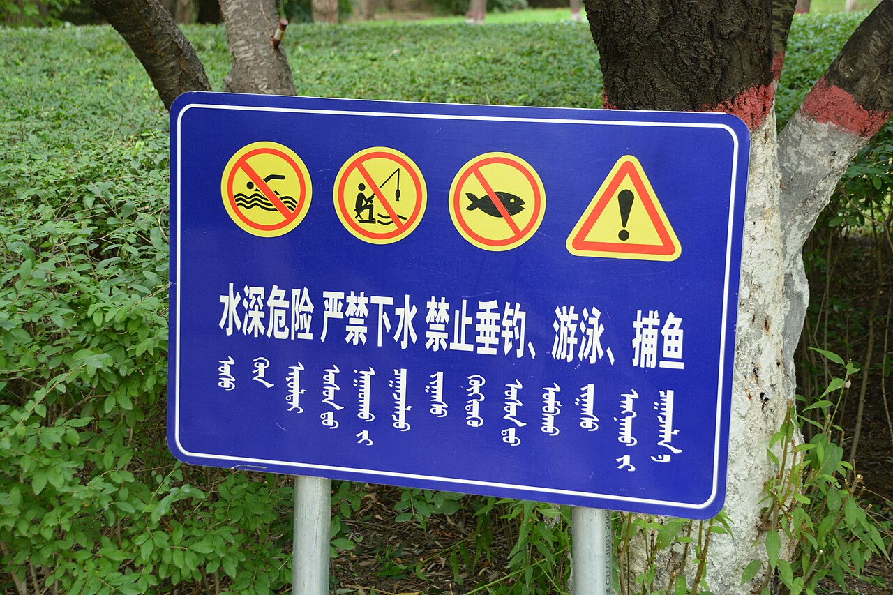
The regional government designates Mandarin alongside Mongolian as official languages in government administration. The traditional Mongolian script, written vertically from top to bottom, remains widely used in public spaces. Street signs and government buildings in Inner Mongolia are required to display the vertical script alongside Chinese characters.
The use of the vertical traditional script distinguishes ethnic Mongol people in China from people in Mongolia. Mongolia abandoned the traditional script and switched to using the Cyrillic script in the 1940s.